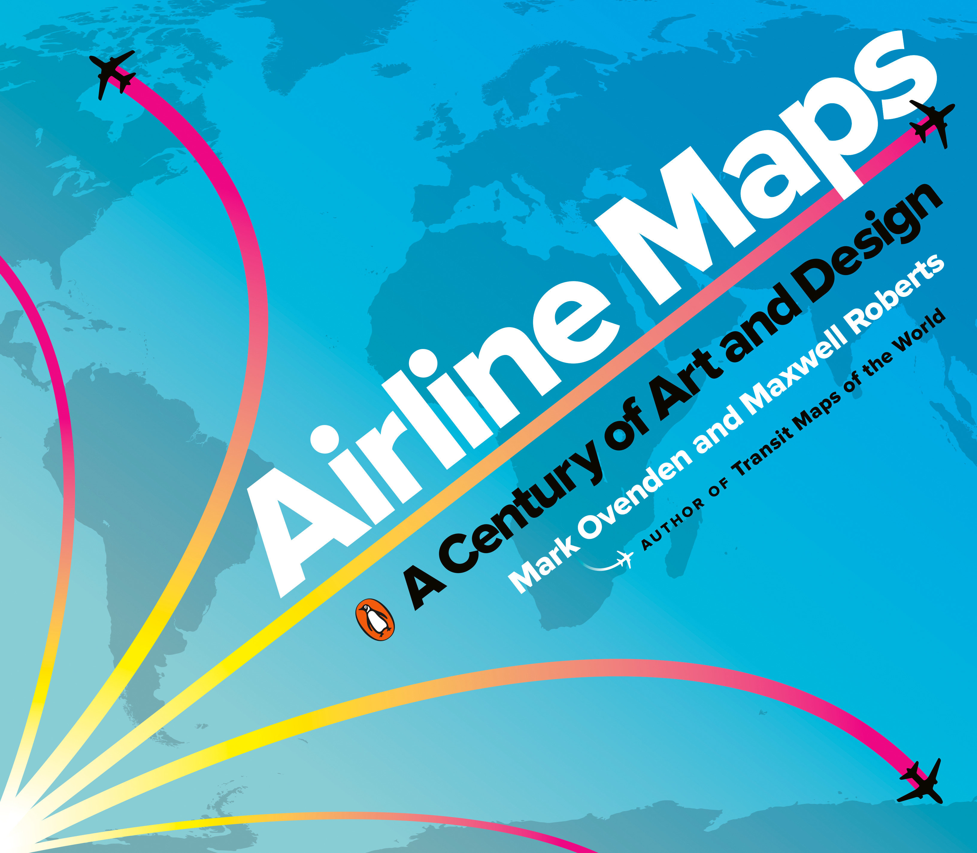
Airline Maps
A Century of Art and Design
Penguin Publishing Group · Print & ebook · October 29, 2019
A nostalgic and celebratory look back at one hundred years of passenger flight, featuring full-color reproductions of route maps and posters from the world's most iconic airlines, from the author of bestselling cult classic Transit Maps of the World.
We earn from qualifying purchases.
- Who it’s for
- For readers interested in airline maps and graphic design
- Themes
- Graphic design, Airline cartography, History of passenger flight
- Genres
- Aviation History, Graphic Design, Maps & Road Atlases
Nearest books
Matched by what the books are about, then ordered by what their readers also loved.
 AircraftDK, D.K. Publishing64% matchShares Aviation History
 FlightMark Phelps, Flying Magazine Editors of63% matchShares Aviation History
 SkyfaringMark Vanhoenacker58% match
 From AboveGemma Padley, Eamonn McCabe58% match
 National Geographic World From AboveJeffrey Kerby58% match
 1,000 Places to See Before You DiePatricia Schultz57% match
 Lonely Planet the Travel Book 4 4th Ed.Lonely Planet57% match
 Lonely Planet Amazing Train Journeys 2 2nd Ed.Lonely Planet56% match
For younger readers: The History of Western Art in Comics Part One: From Prehistory to the Renaissance, Sky High!, Cities
Start with three books, and this one can be the first.
Members get a new edition every morning: a route out from their books to essays, research and talks, with the reason for each.
Start with this bookAbout this book
A nostalgic and celebratory look back at one hundred years of passenger flight, featuring full-color reproductions of route maps and posters from the world's most iconic airlines, from the author of bestselling cult classic Transit Maps of the World. In this gorgeously illustrated collection of airline route maps, Mark Ovenden and Maxwell Roberts look to the skies and transport readers to another time.
Continue reading
Hundreds of images span a century of passenger flight, from the rudimentary trajectory of routes to the most intricately detailed birds-eye views of the land to be flown over. Advertisements for the first scheduled commercial passenger flights featured only a few destinations, with stunning views of the countryside and graphics of biplanes. As aviation took off, speed and mileage were trumpeted on bold posters featuring busy routes. Major airlines produced highly stylized illustrations of their global presence, establishing now-classic brands. With trendy and forward-looking designs, cartographers celebrated the coming together of different cultures and made the earth look ever smaller. Eventually, fleets got bigger and routes multiplied, and graphic designers have found creative new ways to display huge amounts of information. Airline hubs bring their own cultural mark and advertise their plentiful destination options. Innovative maps depict our busy world with webs of overlapping routes and networks of low-cost city-to-city hopping. But though flying has become more commonplace, Ovenden and Roberts remind us that early air travel was a glamorous affair for good reason. Airline Maps is a celebration of graphic design, cartographic skills and clever marketing, and a visual feast that reminds us to enjoy the journey as much as the destination.
Who it’s for
- For readers interested in airline maps and graphic design
- For readers drawn to the history of passenger flight
Where it sits
| Aviation History | 43% |
|---|---|
| Graphic Design | 30% |
| Maps & Road Atlases | 30% |
Percentages are BookFrontier’s reading of the book.
Publisher categories
- Aeronautics & Astronautics
- Aviation History
- Maps & Road Atlases
- Authors
- Mark Ovenden, Maxwell Roberts
- Publisher
- Penguin Publishing Group
- Published
- October 29, 2019
- Format
- Print & ebook
- Theme
- Graphic design · Airline cartography · History of passenger flight
- Reading lane
- Aeronautics & Astronautics