
Children's Picture Atlas
Usborne · Print & ebook · May 7, 2024
A Geography pick for readers exploring Children's Picture Atlas.
We earn from qualifying purchases.
- Who it’s for
- Illustrated maps make geography a close-looking, talk-it-over kind of journey.
- Themes
- World geography, People and places
- Genres
- Atlases & Maps, Geography for Kids, Exploring Places
Nearest books
Matched by what the books are about, then ordered by what their readers also loved.
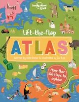 Lonely Planet Lift-the-flap Atlas 1st Ed.Kate Baker71% matchShares Atlases & Maps, Geography for Kids and Exploring Places
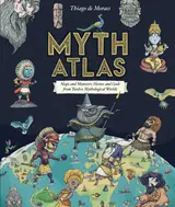 Myth AtlasThiago de Moraes67% matchShares Atlases & Maps
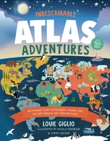 Indescribable Atlas AdventuresLouie Giglio66% matchShares Atlases & Maps and Geography for Kids
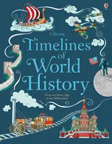 Timelines of World HistoryJane Chisholm64% match
 The Atlas Obscura Explorer’s Guide for the World’s Most Adventurous KidDylan Thuras, Rosemary Mosco63% match
 CitiesManon Bucciarelli62% matchShares Exploring Places
 Medieval WorldJane Bingham60% match
 PeoplePeter Spier60% matchShares Exploring Places
For older readers: Wildlife of the World, World War II Map by Map
Start with three books, and this one can be the first.
Members get a new edition every morning: a route out from their books to essays, research and talks, with the reason for each.
Start with this bookAbout this book
A beautifully illustrated picture atlas that takes children on a magical journey around the world. Each map is crammed with fascinating details to pore over and talk about and thematic pages describe people and places around the world. Includes a ‘Trip Around the World’ quiz and an index of place names.
Maps to Linger Over
Illustrated maps make geography a close-looking, talk-it-over kind of journey.
Come here for
- Details to spot and discuss across the maps
- People and places gathered in thematic pages
Expect
- A trip-around-the-world quiz and place-name index
- Maps filled with details to pore over
Where it sits
| Atlases & Maps | 97% |
|---|---|
| Geography for Kids | 51% |
| Exploring Places | 50% |
Percentages are BookFrontier’s reading of the book.
Publisher categories
- Africa for Kids
- Asia for Kids
- Australia & Oceania
- Caribbean & Latin America
Show all 8 publisher categories
- Europe for Young Readers
- Atlases & Maps
- Geography for Kids
- Customs & Traditions
- Authors
- Ruth Brocklehurst
- Publisher
- Usborne
- Published
- May 7, 2024
- Format
- Print & ebook
- Theme
- World geography · People and places
- Reading lane
- Africa for Kids